Itinerari Ruta de l’Onyar
Municipality: Vilobí d’Onyar
Distance: 5,2 km
Approx time: 1h 30 min
Type of route: Linéaire
Level of difficulty: Easy
Cumulative vertical distance uphill: 31 m
Cumulative vertical distance downhill: 11 m
Tracking marks: Blue
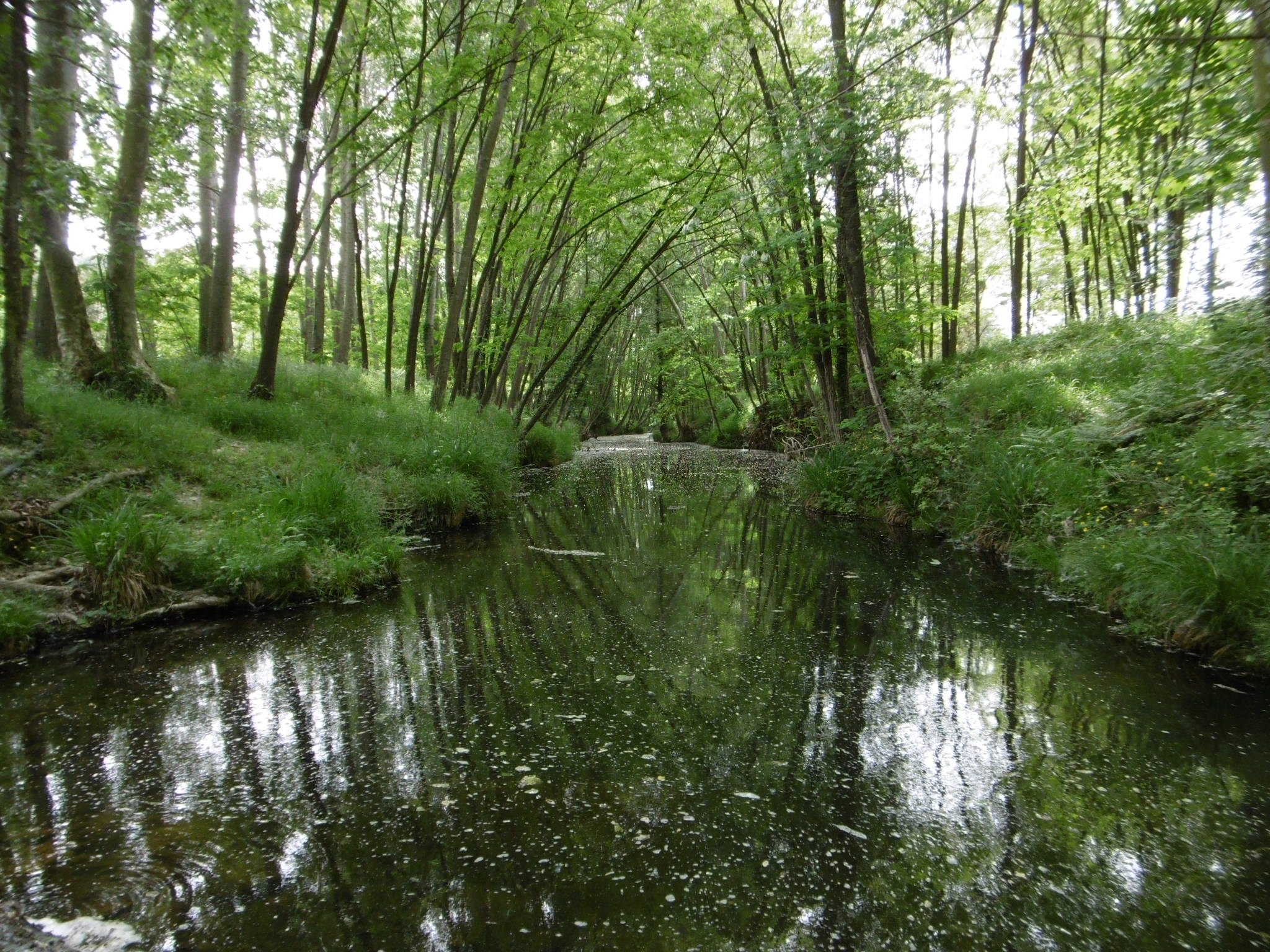
This flat route runs alongside the section of the Onyar River where it flows through the district of Vilobí d’Onyar. Heading along the riverbank, next to crop fields, you reach the Borra Lock, passing through the Onyar recreational area. The route also features an impressively large stone pine tree.
Signposted route with directional signs and route markings (blue painted strips).
Further information:
| Itinerari Ruta de l’Onyar |


